We have optional field courses which students can take in their program.
ERTH 3203 - Sedimentology - alternates yearly between Nova Scotia and Newfoundland
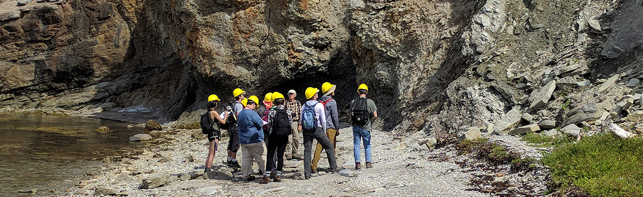
This field-based course of study examines carbonate, siliciclastic and evaporite depositional systems, and incorporates modern and ancient records in field locations that alternate annually between Nova Scotia (instructor: Prof. Claudia Schroder-Adams) and western Newfoundland (instructor: Prof. George R. Dix). Both regions provide a superb array of sedimentary facies defining modern and past environments extending from the deep marine to terrestrial deposits, and these sedimentary systems are cast in context of the tectonic evolution of the northern Appalachians.
ERTH 3206 - Sedimentary Depositional Systems
This field-based course examines different carbonate and siliciclastic depositional systems, incorporating modern and ancient records preserved in the City of Ottawa region. Using a 1-day-a-week field-based format, and literature sources providing background context, students examine stratigraphic successions of sedimentary facies in outcrop and core, and interpret changing depositional and oceanographic conditions. Examples include: marine transgression across an aeolian-dune landscape; inner platform evaporitic limestone-dolostone-shale cycles; outer-platform limestone-shale cycles and the oxygen minimum zone; siliciclastic fluvial deposition in a glaciated terrain; estuarine siliciclastics; storm events in the Ordovician; and, the plumbing architecture of marine bioturbation. Students gain an understanding of environmental succession relative to the tectonic evolution of the Ottawa-Bonnechere graben.